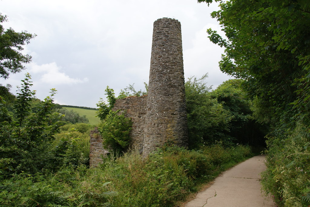
Situated approximately 1.2 km southwest of Helston on the eastern side of the River Cober valley, this ancient lead and silver mine boasts a rich history. Its primary lode, believed to be an extension of a cross-course that passes beneath Breage and along the eastern flank of Tregonning Hill, trends southeastward, crossing the valley at the northern tip of Loe Pool. Initially, the mine was worked from open casts and later from three shafts spanning about 250 yards along its strike. By around 1800, the underground workings had reached a depth of 50 fathoms (92 m). However, further exploration southeastward revealed a heave caused by a slide, obstructing further progress. It wasn’t until 1883 that the continuation of the lode was rediscovered during exploration efforts at the mine.
Additionally, the mine sett included another parallel lode situated slightly north in the valley, which was mined to a depth of 34 fathoms. To prevent the mine from flooding, a drainage adit was driven around 1790 from lake level through the cliffs at the southern end of Loe Pool to the seashore, allowing for the regulation of water levels. This innovative approach facilitated the removal of up to 8 meters of sediments and the extraction of approximately 1.25 meters of alluvial tin deposits. The outflow from the adit was utilized by tin streamers to process the tailings dumps of the mine.
While records suggest the mine was active as early as the 16th century, details about this period are scarce. It is speculated that mining activities may have commenced following the exploitation of the area by the Company of Mines Royal in 1580. Subsequent periods of operation occurred around 1740, yielding profitable returns for investors. However, despite producing lead ore containing notable amounts of silver, attempts to extract silver proved financially burdensome, ultimately leading to the cessation of operations in the late 18th century. Renewed interest in the mine occurred in 1853, and further exploration took place in 1883, leading to the rediscovery of the lode’s continuation south of the slide.
16th C. 1790-1796 1855-1860s
External Links
Publications (1)
- Dines, Henry George (1956); BGS - Regional Memoirs - Metalliferous Mining Region of South West England Vol1, The; 567 pages


