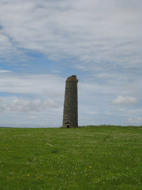
At Retanna Hill, marked by a solitary chimney stack just north of the A394 at Retanna Hill, stands the remnants of a small tin mine, also known as Retanna Hill and Viscar Mine. Initially, it was mistakenly referred to as ‘Bal Ding’ due to a nickname for local resident Richard Andrew - Dicky Ding, causing confusion with the Retanna Hill Mine. The sett contained four named shafts: Scott’s, Hughe’s, Fox’s, and Western shafts. The tin lode was primarily worked from Hughe’s shaft, located 157 yards west of Buteriss Gate road junction. Scott’s shaft, the deepest, reached the 30-fathom level (180 feet), while Western shaft reached the 10-fathom level. Although Fox’s shaft was nearby, it was not connected to the main workings. The mine reportedly produced 22 tons of black tin in 1853, with additional sales in 1864, employing 18 workers and utilizing a 22-inch engine. Managed by Captain John Daw Jr. of Redruth, the mine was situated in the Parish of Wendron and was ultimately wound up in 1868.
1850s 1864-1868
Publications (2)
- Collins, J.H. (1912); Observations of the West of England Mining Region; 753 pages
- Dines, Henry George (1956); BGS - Regional Memoirs - Metalliferous Mining Region of South West England Vol1, The; 567 pages


