In the early 1800s, South Tamar Mine boasted a silver content ranging from 40 to 90 ounces per ton. A merger in 1820 combined South Tamar, South Hooe, and Tamar Valley Mines under the name Bere Alston Mines, but the venture was put up for sale in 1821. South Tamar was reopened in 1846, and within a year, Cowie’s Shaft had reached a depth of 90 fathoms, extending half a mile under the river in the lower levels. By December 1851, output had risen to 80 tons, and in 1854, all levels were producing well.
However, disaster struck on August 31, 1856, when the river broke into the mine through a clay-filled fault, flooding the lower levels. Fortunately, the incident occurred on a Sunday when the mine was empty, resulting in no loss of life. Despite several proposed schemes to recover the mine and its broken ore, including involvement from Isambard Kingdom Brunel, the mine was abandoned in December with no hope of restarting.
The engine shaft, sunk to a depth of 146 fathoms on a 15-degree east underlie, primarily extends southward. Glynn’s shaft, located 100 yards from the engine shaft, connects at the 70, 80, and 90-fathom levels. Silver content ranged from 80 to 120 ounces per ton in the upper levels, decreasing to 35-40 ounces per ton in the lower levels. Recorded outputs as South Tamar Consols from 1849 to 1860 include 7,140 tons of 64% lead ore and 350 tons of fluorspar. Additionally, from 1852 to 1860, 262,470 ounces of silver were extracted.
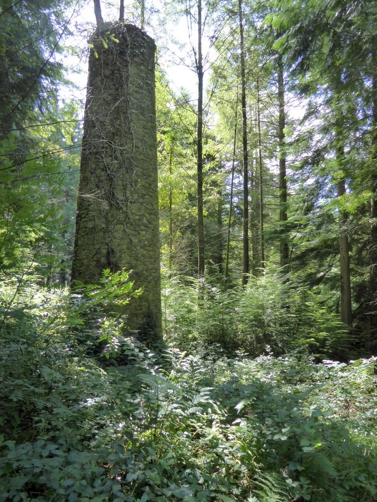
Several tips are located near the river bank and in fields to the north, with a chimney and tip at Cotts further north, marking the boundary between the South Tamar and Furzehill setts. A shallow shaft provides access to a low adit, which extends in a north-westerly direction but is flooded along its entire length. After approximately 50 meters, the adit crosses another shaft, which does not appear to be accessible from the surface, and eventually ends in a collapse after 10 meters.
Publications (1)
- Dines, Henry George (1956); BGS - Regional Memoirs - Metalliferous Mining Region of South West England Vol2, The; 335 pages


