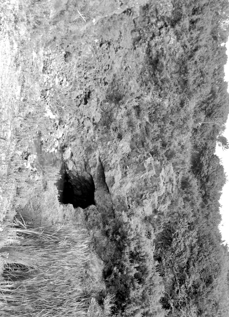
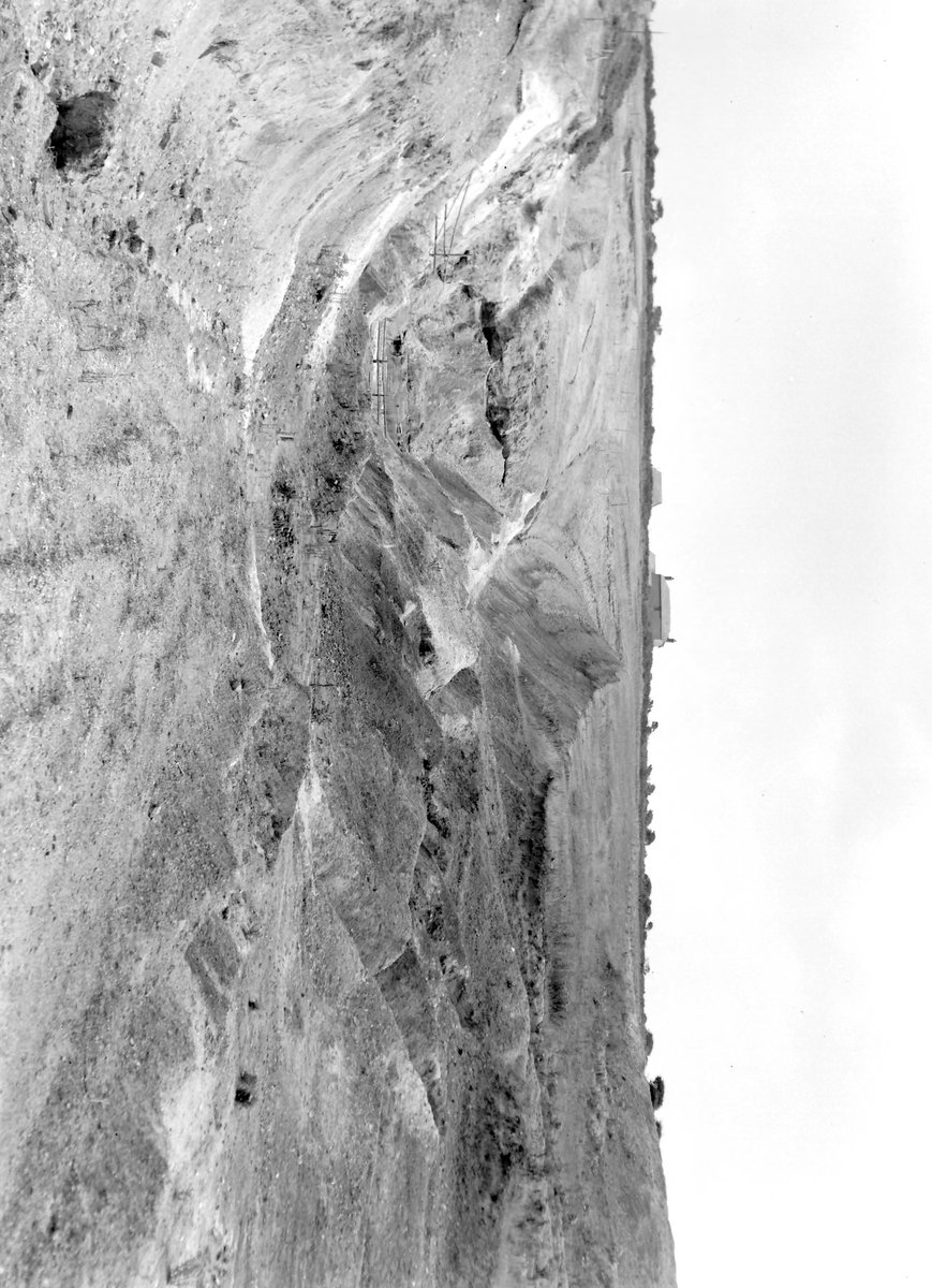
Opencast. Located on the Perran Iron Lode, this iron mine began operations in the mid-19th century and operated sporadically until World War II. The lode passed approximately 30 yards south of Treamble Farm and was initially worked from two open cuts, situated southwest and southeast of the farm. During the excavation of the western pit, a north-south-trending lead lode was uncovered, believed to be the southern extension of Trebellan lode. This lead lode intersected with the Perran Iron Lode, containing native silver and silver ores near the intersection.
The overall length of the lode opened up by the pits was 235 yards. The extent of workings in the western pit is uncertain due to early backfilling. The eastern pit, also known as Garden Quarry, was 60 feet deep and up to 120 feet wide. Shallow shafts were later sunk along the lode’s strike, but little further underground development occurred.
Despite contemporary reports of substantial ore quantities and quality, the limited stoping shown on mine plans and exposures in the eastern pit suggest otherwise. After a period of inactivity until 1937, Lloyd’s Perran Iron Company took over the mine. However, a new pit excavated in 1937 encountered thinner ore bodies than expected, leading to abandonment in 1940 after raising 4,000 tons of ore.
The Home Ores Department then took over, conducting further development until 1943. Today, the area has been converted into a caravan park, with the pits backfilled and no traces of mining activity remaining. Over its operational periods, the mine produced significant quantities of brown iron ore, mixed brown iron and spathic ore, lead ore, zinc ore, and silver. Additionally, up to 500 tons per year of fullers earth were produced from decomposed killas.
1859-1892 1937-1940
External Links
Publications (3)
- (1877); Duchy Peru; 1 pages
- Collins, J.H. (1912); Observations of the West of England Mining Region; 753 pages
- Dines, Henry George (1956); BGS - Regional Memoirs - Metalliferous Mining Region of South West England Vol1, The; 567 pages


