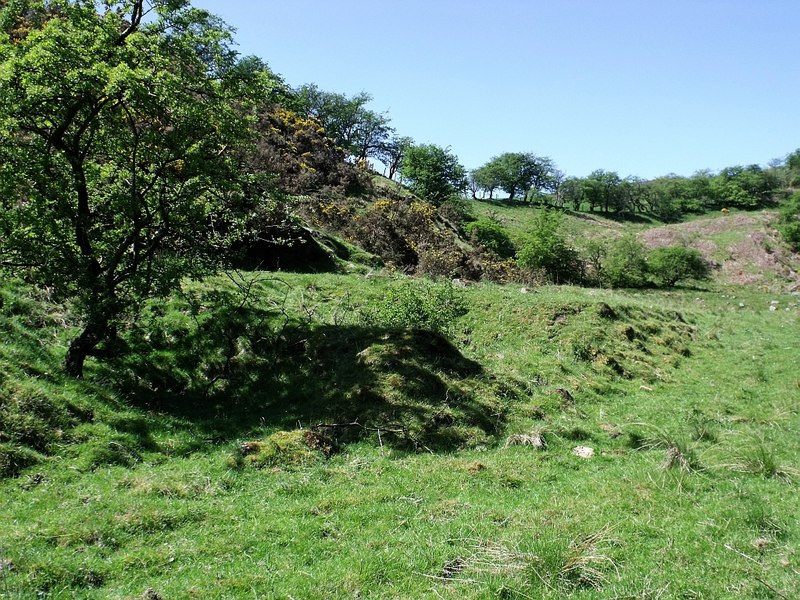
Limestone mine originally with several entrances on the east bank of the Corry or Cast Burn (not actually on the Queenzie Burn which is the next stream c. 100 m to the east )
A linear series of passages cut into the small limestone cliff above Burnhead Farm. Now thought to be blocked. The first 200 metres are flooded with shallow standing water. [This may refer to the lower drainage adit]
Three, possibly four connected and roughly parallel levels running roughly parallel to the valley following the limestone beds. The upper passages, from a rabbit hole entrance (a wider entrance blocked either by a wall or by run in), have been reopened, and and are being resurveyed (c. 2021-22). Lower levels appear flooded.


