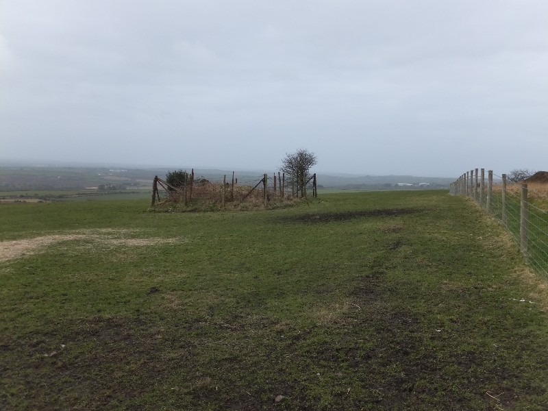
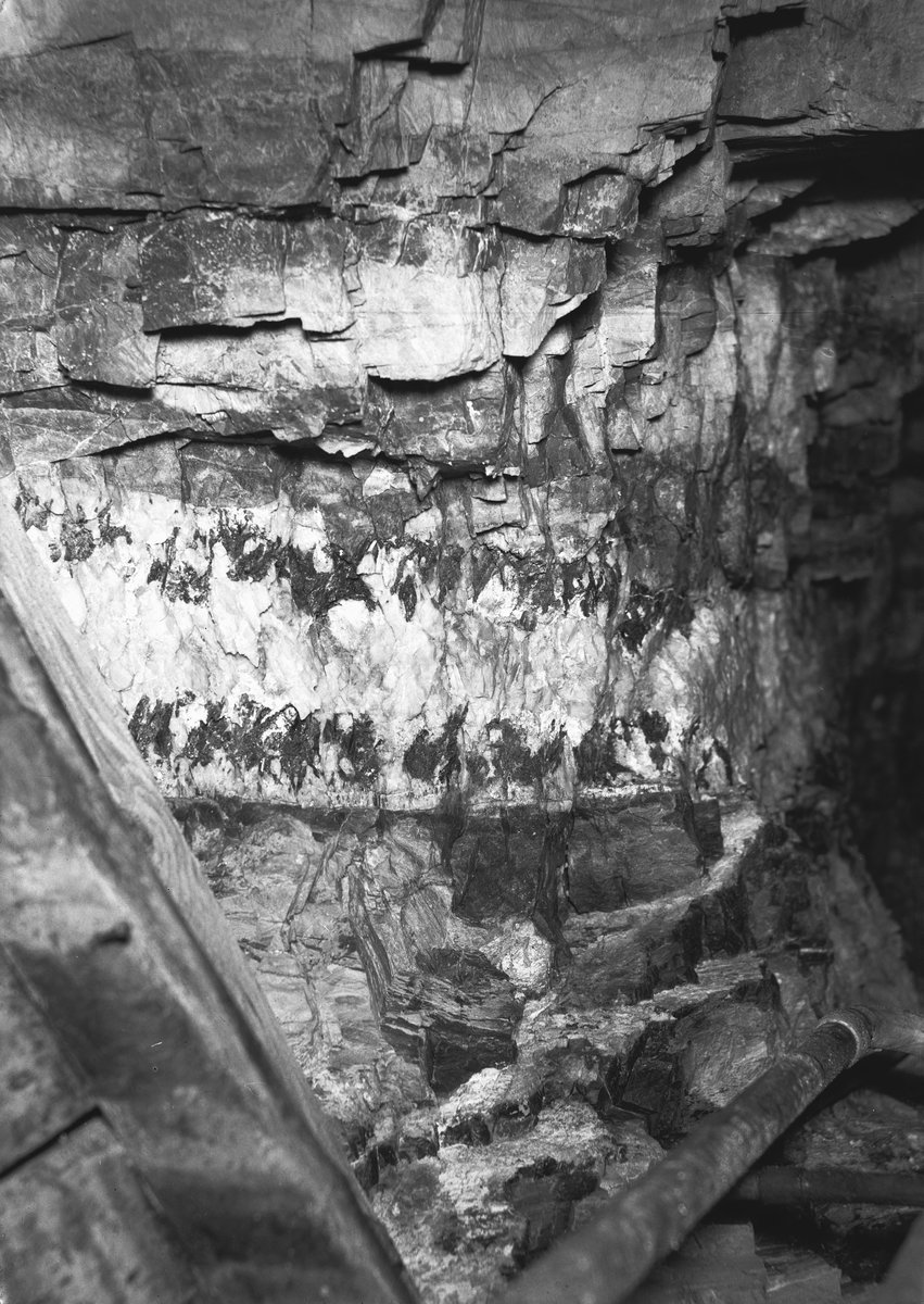
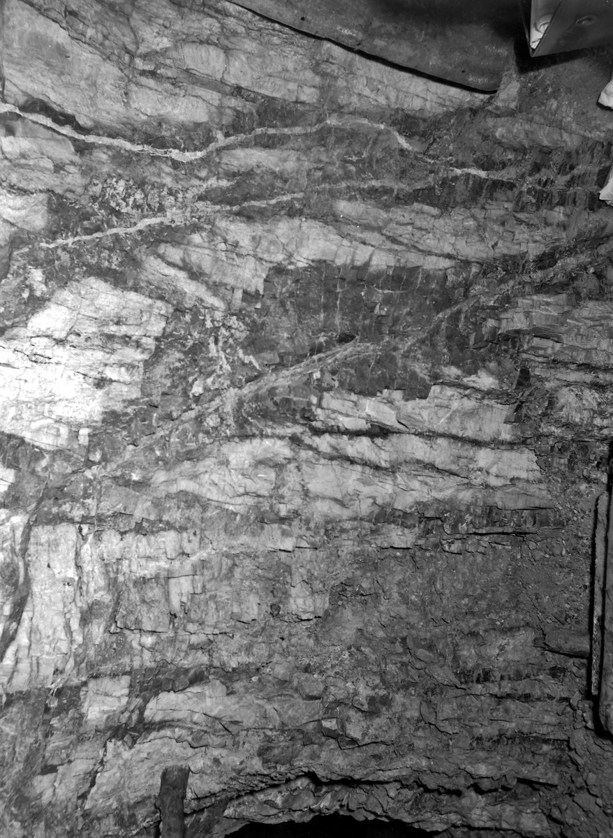
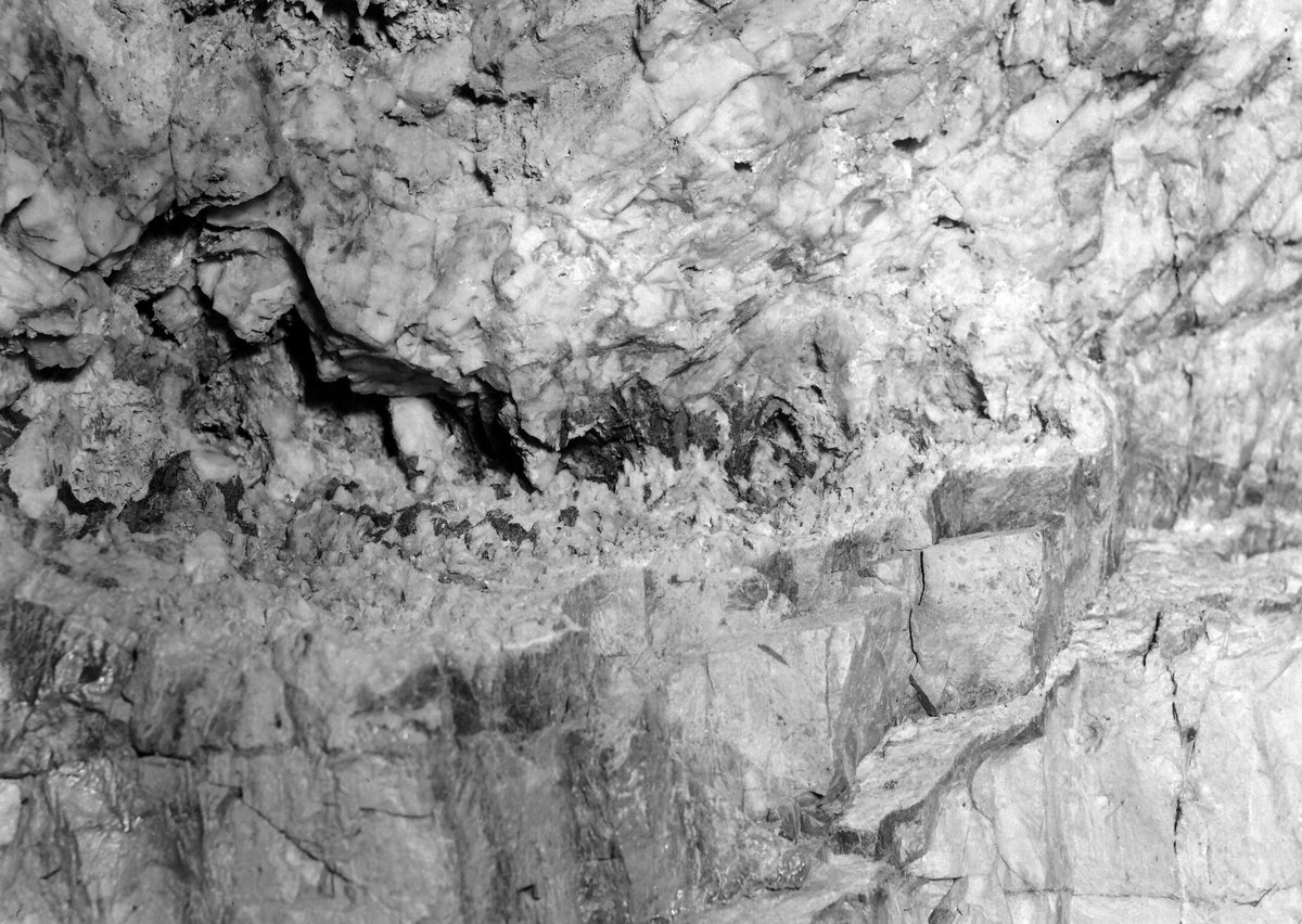
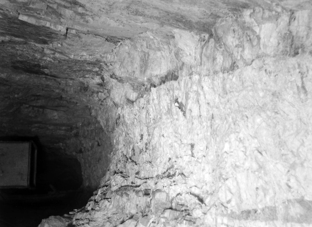
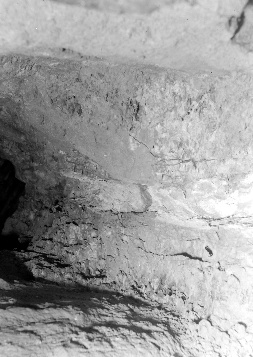
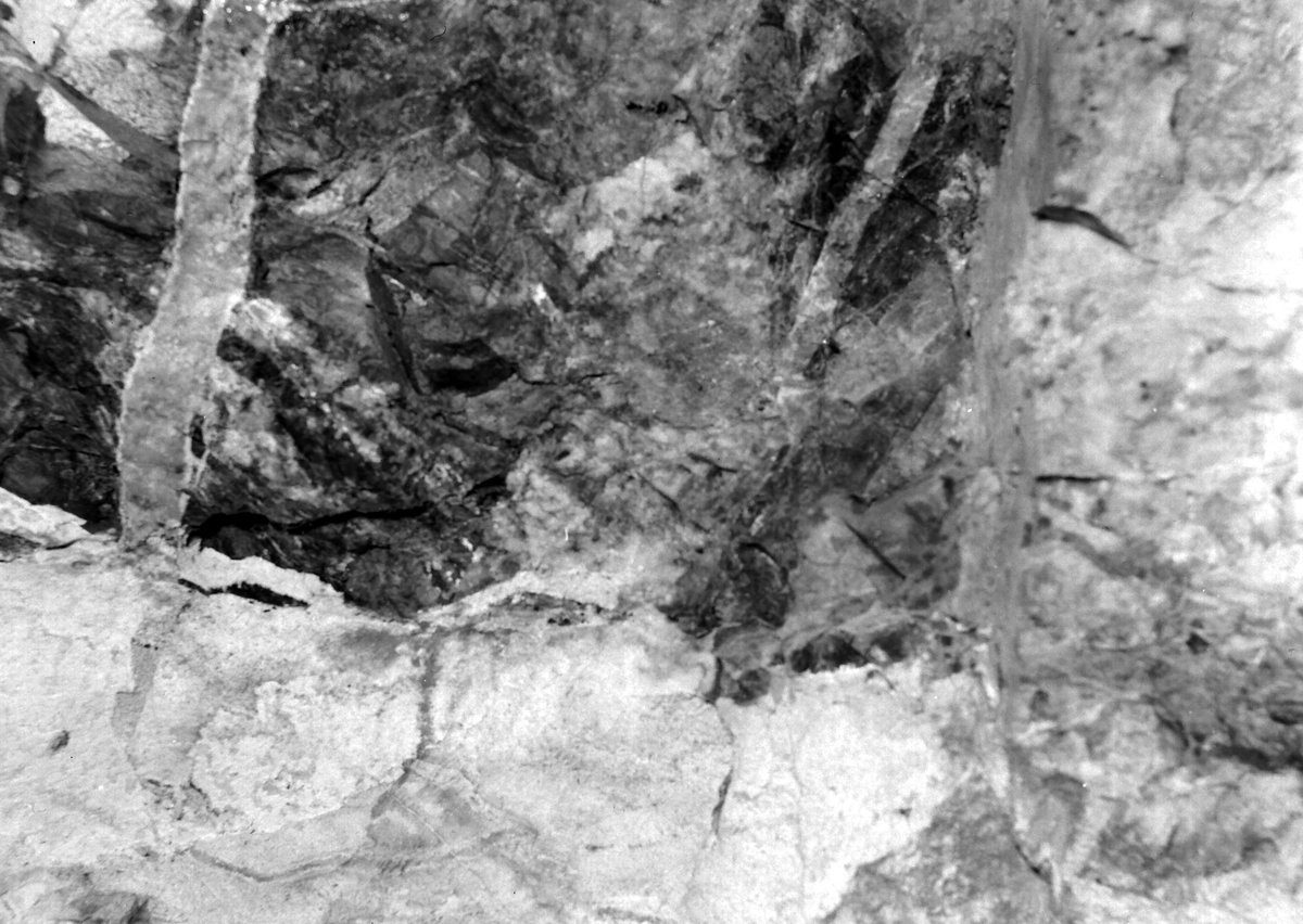
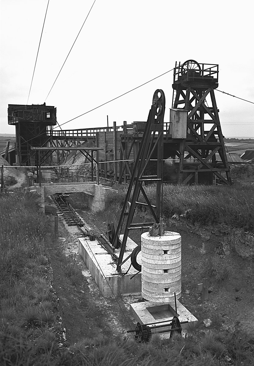
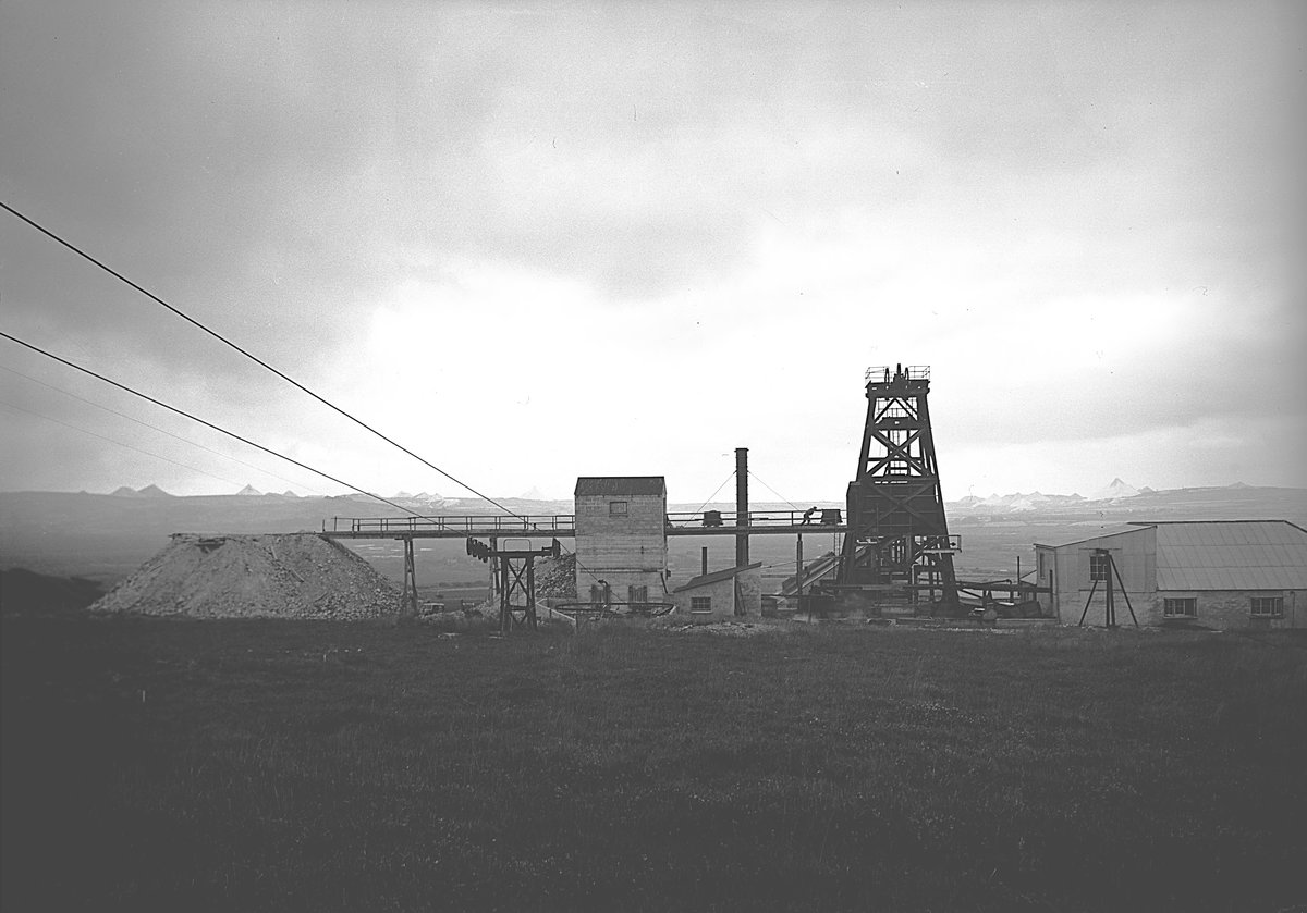
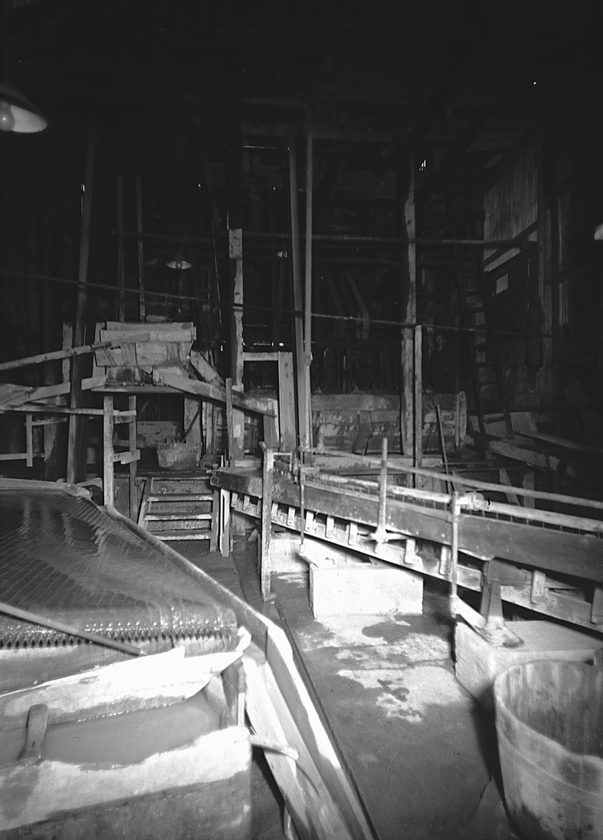
See also: Charlestown United. Vertical wolfram (tungsten) lode running from north to south across Castle-an-Dinas Hill and passing through the center of the hillfort of the same name. The mine features a cluster of buildings located at South Shaft, which was sunk to a depth of 650 feet in 1945. Additionally, there are open stopes and four levels on the north side of the hill.
Within the hill’s core lies a granite cupola, and the ore diminishes as it enters this rock. The mine operated intermittently during the First and Second World Wars, albeit on a limited scale. However, its primary period of operation was from 1945 to 1958, during which approximately 3,000 tons of wolfram were produced.
External Links
Publications (8)
- (1913); Castle an Dinas - Letter; 1 pages
- (1929); Castle an Dinas - Letter; 1 pages
- (1997); BGS - Mineral Resource Development Maps & Plans - Cornwall - Report; 43 pages
- Davison, E.H. (1935); Geology of Castle an Dinas Wolfram Mine; 6 pages
- Dines, Henry George (1956); BGS - Regional Memoirs - Metalliferous Mining Region of South West England Vol2, The; 335 pages
- NMRS; Newsletter Feb/2007; pp.6
- NMRS; Newsletter May/1981; pp.6
- NMRS; Newsletter May/1996; pp.5
