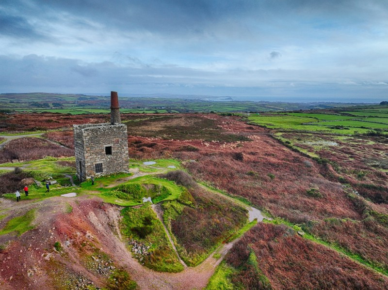
Including many older workings.
An ancient tin mine once operated across a vast area between Lanyon farm and Mulfra hill, extending from west to north of Boskednan. Numerous shafts, derelict mine structures, and substantial dumps remain scattered on the south and southeast slopes of Nine Maidens Cairn. The focal point of the mine, Croft Reeve Shaft, positioned centrally within the mining area, housed crucial facilities such as stamps and two engine houses. Presently, this location is identifiable by a significant, vegetation-covered mound situated near the dirt track road connecting Boskednan to Bosiliack.
1814-1878 1912 1928
External Links
Publications (5)
- (1839); BGS - Regional Memoirs - Report on the Geology of Cornwall, Devon and west Somerset; 729 pages
- (1985); WMS Newsletter Issue 13 Dec; 4 pages
- Dines, Henry George (1956); BGS - Regional Memoirs - Metalliferous Mining Region of South West England Vol1, The; 567 pages
- Ding Dong Mine; 1 pages
- Edited by D. J. Linton (2012); Welsh Mines & Mining - Towards a Better Understanding - New Research on Old Mines; 152 pages


