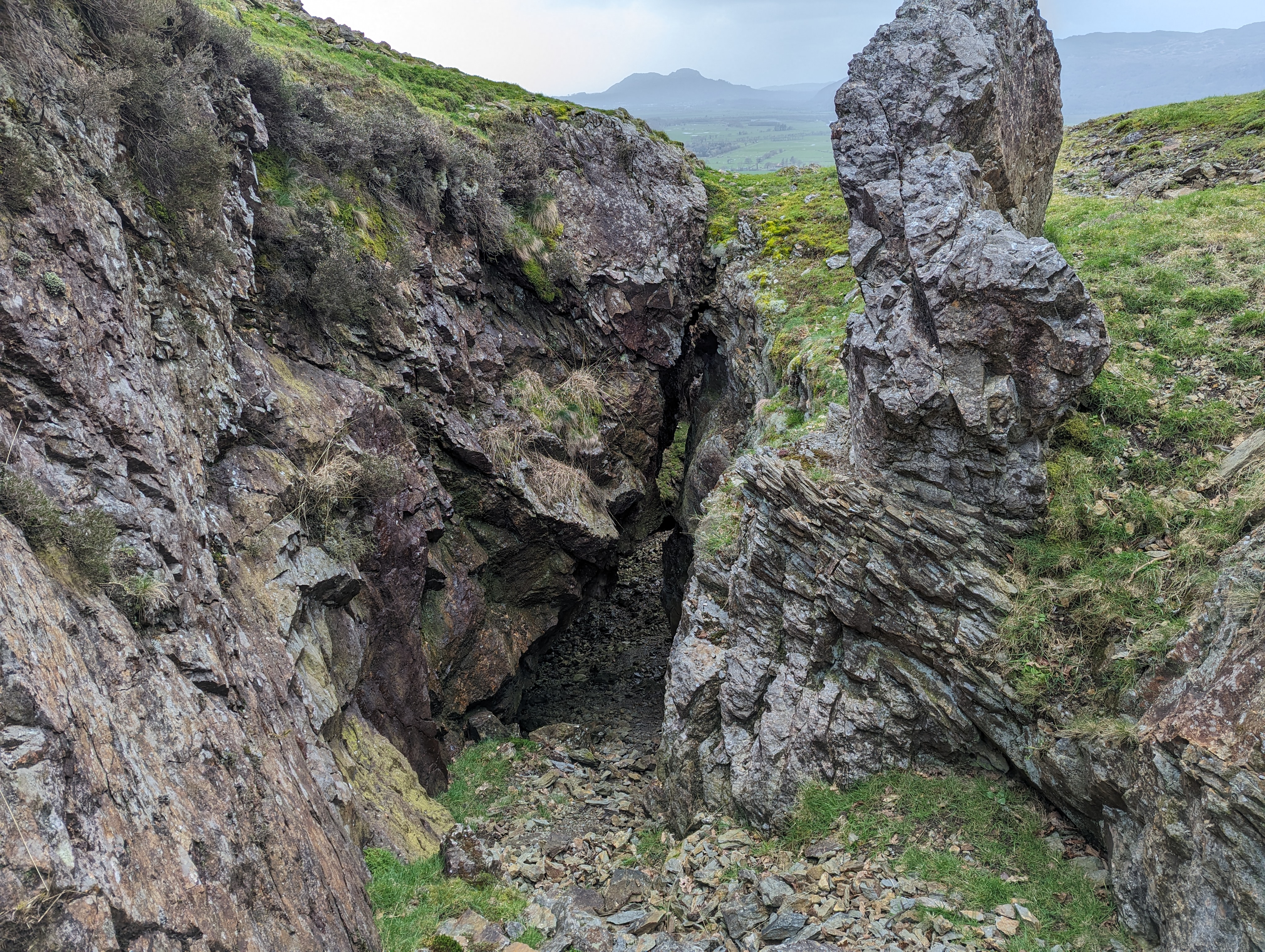
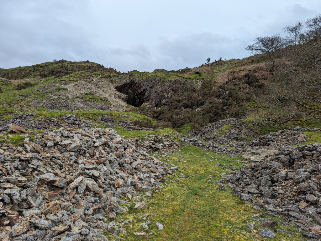
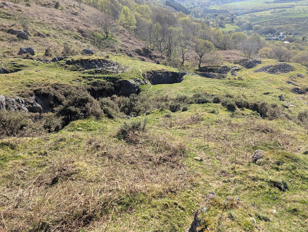
A separate set of workings from those traditionally accessed via the ‘deep adit’ and associated shafts. Situated on the hillside behind the farm, the route passes a blocked adit that feeds a large pond. At the top of the hill is a large gash—an open stope with a rock bridge that can be seen from Llanfrothen.
On the track leading from the road towards the farm, on the left is what appears to be a large, square-profiled flooded shaft.
Note: Despite not being any warning or fences in place - this is not a walk in mine, you need mine explorers skills, awarness and technical equipment.
The farm iself appears to be a holiday let these days, and there is a public footpath from the road up to the workings.
Publications (2)
- (1922); BGS - Mineral Resources of GB (c1920s) Vol XXIII - Lead & Zinc: Pre-Carboniferous Shropshire & North Wales; 111 pages
- GCPC (1997); Ogofa 5; pp. 32-40


