Description
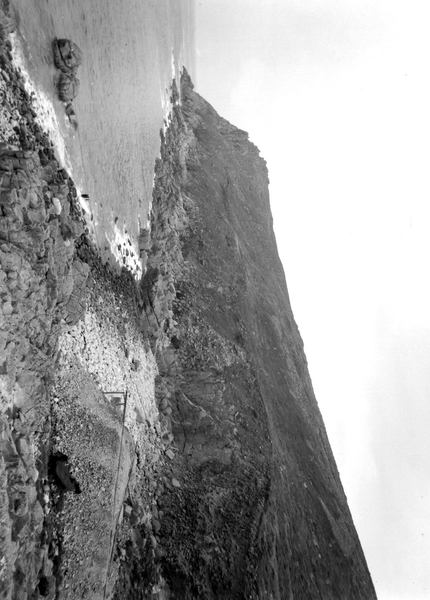
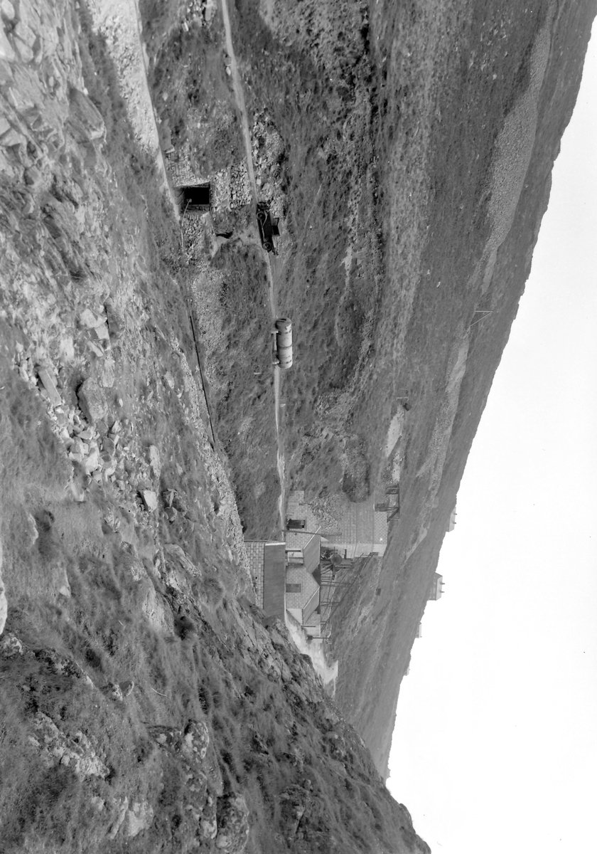
Part of Bosorne and Ballowal United. Wheal Bellan operated numerous lodes situated on the northern slope of lower Cot Valley and the adjacent cliff. Its mining area encompassed the region between Bosorne Mine in the east and St Just Amalgamated Mines in the northwest. The primary shafts used for mining were Badger’s shaft, identifiable by its chimney and several dumps located opposite Carn Gloose, and Bellan shaft, positioned slightly southeast of Badger’s shaft.
History
18th C. 1856-1867 1894-1896
External Links
Publications (3)
Dines, Henry George (1956); BGS - Regional Memoirs - Metalliferous Mining Region of South West England Vol1, The; 567 pages Joseph, Peter; NMRS (2006); British Mining 79 - Cape Cornwall Mine; ISBN 0901450 60 X; pp.15,71. NMRS; British Mining 73 - Memoirs 2003; pp.137.
Please enable JavaScript to view the map.
Sites within 2km (57)
Venton, Wheal - 112m Widden, Wheal - 160m East St Just United - 205m North Venton, Wheal - 206m Bellan Mine - 211m Vean, Wheal - 224m Ballowal Bal - 245m Hermon, Wheal - 277m Dower, Wheal - 293m Riblows - 300m Bernoal Bal - 303m Bollowal - 340m Badger, Wheal - 341m Buck, Wheal - 402m St. Just A, Wheal - 417m Owl, Wheal - 424m Little Bounds - 602m Letcha, Wheal - 610m Vulcan, Wheal - 660m St. Just B, Wheal - 690m St. Just Consols - 714m Bollowall & Nanpean - 720m Carn Escalls - 749m Bozands, Wheal - 759m Cunning, Wheal - 777m Bounds, Wheal - 825m East Bosorne - 854m Bosavern - 880m Porthledden - 1,010m Ellen, Wheal - 1,022m Praze Shaft - 1,129m Call, Wheal - 1,163m Cape Cornwall Mine - 1,180m Kelynack - 1,185m Praze, Wheal - 1,202m Boswedden - 1,221m Boscean - 1,252m Goldings - 1,264m Castle, Wheal - 1,311m Lower Boscean - 1,366m Damsel, Wheal - 1,398m Grouse, Wheal - 1,419m East Boscean - 1,422m Williams, Wheal - 1,499m Boys, Wheal - 1,502m Yankee Boy Mine - 1,505m Boscregan - 1,511m South Levant - 1,522m Gendall - 1,523m Drea, Wheal - 1,595m Owles, Wheal - 1,631m Truthwall - 1,705m Bull, Wheal - 1,711m Edward, Wheal - 1,802m Parknoweth - 1,887m Cargodna, Engine Shaft - 1,916m Cornish's Shaft - 1,982m


