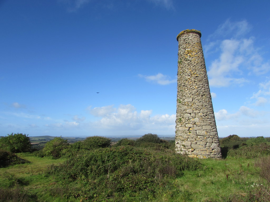
Formerly Carbona Mine. small tin mine is situated on the western edge of the Carnmenellis Granite, within the Civil Parish of Crowan, at an elevation of approximately 150 meters above sea level. Its chimney stack remains as a prominent feature, overlooking the village of Nancegollan. The engine house, notable for its unusual arched bob wall, collapsed sometime during the 1960s. Despite this, some dumps from the mining activities still exist on the site.
The mine exploited three lodes known as Main Lode, North Tin Lode, and South Tin Lode. It reached a depth of 100 fathoms before being abandoned around 1890. Although production figures are incomplete, records indicate a production of 102 tons of black tin between 1884 and 1890. In recent years, specimens of cassiterite in the form of small crystals and thin veinlets within a granitic matrix, as well as small brown wood tins, have been discovered in the dumps.
1860-1865 1870-1892
Publications (2)
- Dines, Henry George (1956); BGS - Regional Memoirs - Metalliferous Mining Region of South West England Vol1, The; 567 pages
- NMRS; British Mining 43 - Memoirs 1991; pp.14,31.


